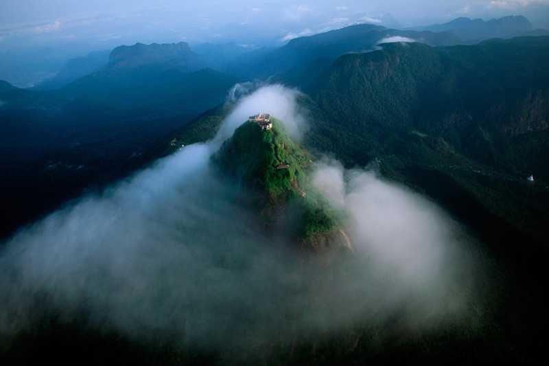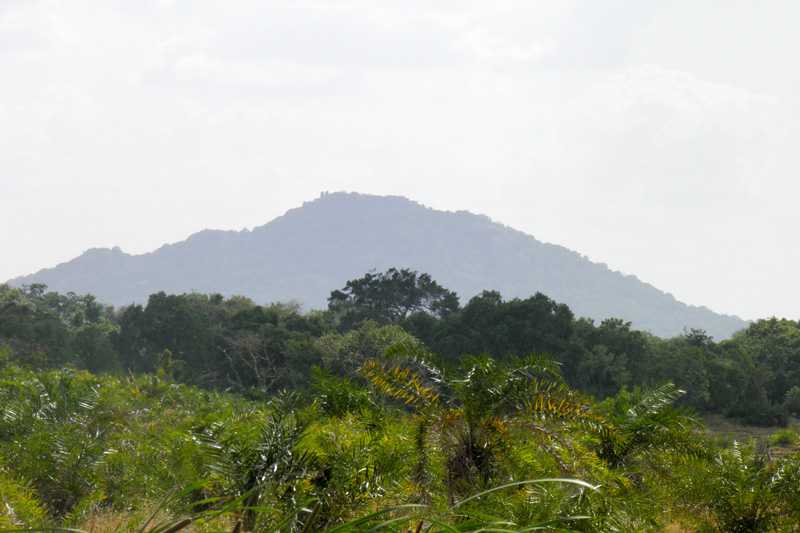


Knuckles
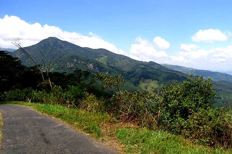
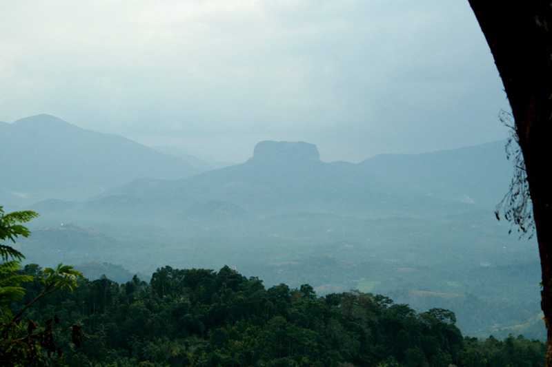
The Knuckles Mountain Range covers parts of KandyandMatale districts and is separated from the Central Hills by the Mahaweli Valley to the South and East and the Matale Valley to the West. Its name derived from its shape of a clenched fist, which forms a scenic wonderland.

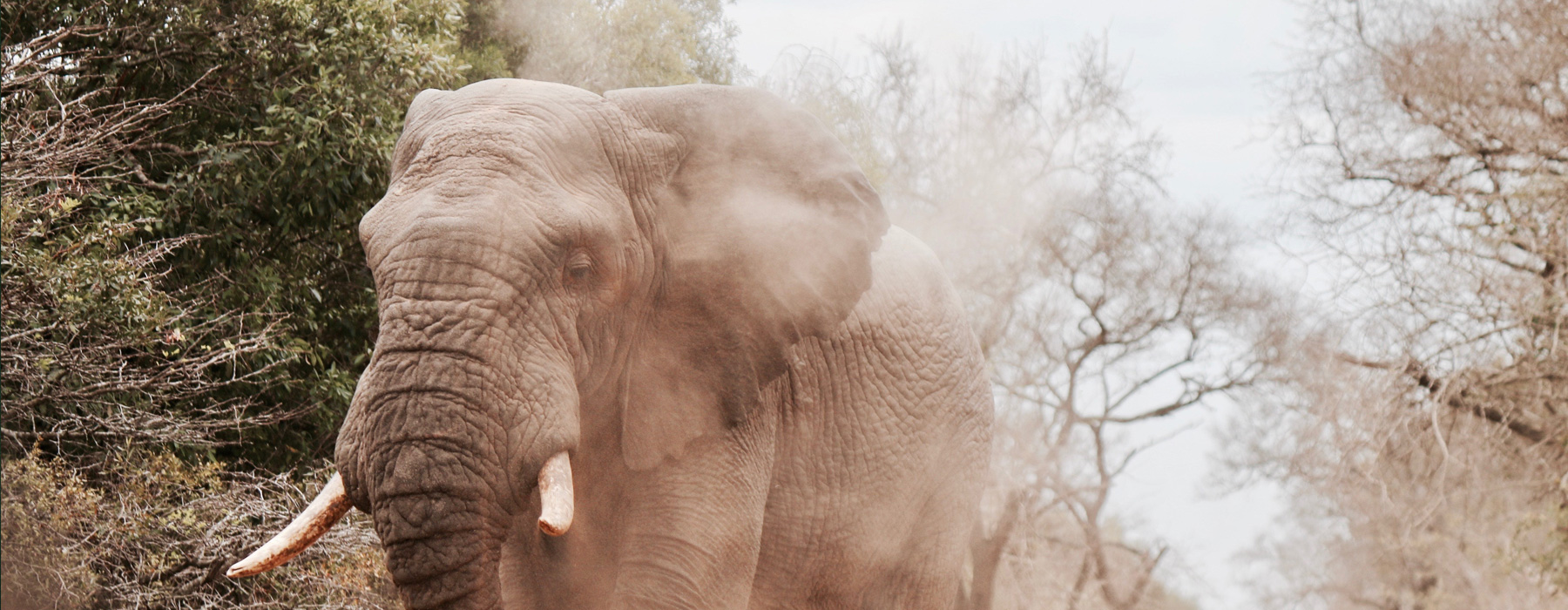
What makes the Knuckles Mountain Range unique is the geographical character of its location. Knuckles Mountain Range is important due to the historical value it carries and therefore it is considered as one of the valuable heritages in Sri Lanka. The story of Knuckles (Dumbara Hills) goes back into prehistoric periods. It is said that in ancient times it was referred as "Giri-Divaina" and as "Malaya Rata" and there is archaeological evidence that speaks of ancient Yakkha settlement in the area. The name "Lanka" is derived here for which much folklore has gathered over the centuries. The Knuckles Mountain Range is an invariable reference in salutary admiration of the last kingdom; Kanda Udarata. The importance of the Knuckles Mountain Range is obtained from several factors. It has a parasitical quality to it because of the mountain peaks, the crystal clear and perennial waterways, cloudy forests and exquisite fauna and flora. Pregnant with history running into several millennia, the Knuckles Mountain Range is a real treasure house of cultural heritage; a mirror to the past. A remarkable feature of this area is that most of the climatic conditions of Sri Lanka can be found within the extent of a mountain range. All these hanging climatic conditions can be experienced within half an hour.
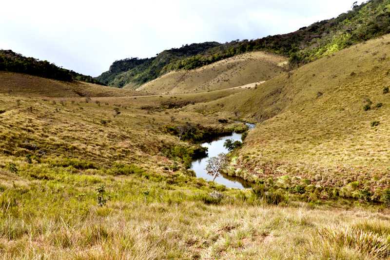
walk through this valley. The location of the hills, the particular effect of the monsoons and the wind factor generate a certain climatic diversity to the area. In fact in these hills one can find characteristics of all the key ecological zones found in the island. Average annual rainfall lies between 3000-5000ml, and temperature of the region ranges from 5.50 to 350 Celsius. It is through a gap in the mountain that the winds of Southwest Monsoon enter to the Dry Zone. The average wind speed has been measured to be approximately 7.2km/ hour and humidity in the range lies between 57%-90%. Since the main rise to both the Southwest and Northwest Monsoons, the area enjoys bountiful rainfalls. For this and other reasons, the Knuckles Mountain Range is counted among the richer of the upper watersheds in the country. In fact from these hills flow the richer of the tributaries to the Mahaweli River. There are three main rivers called the Hulu Ganga, the Heen Ganga and the Kalu Ganga, which begin from Knuckles Mountain Range and there are a number of breathtaking waterfalls and small rivers, which can be found in this area. Even today as was in the ancient day's water from Knuckles Mountain Range feeds the ancient irrigation works suchasParakramaSamudraya.